
How to Get and Use Historical Satellite Images
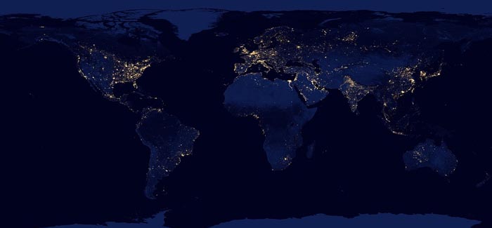
Satellite images are very helpful in observing the past and current state of things in different places all over the world.
There are enough free platforms offering the most relevant satellite pictures. But it happens that users need pictures of a specific area taken years and even decades ago. For example, they need to study changes that occurred under the influence of climate, farming, construction, and much more. In such cases, historical satellite imagery archive is simply necessary as the source of visual data and change detection tool. But where do you find this imagery?
Google Earth
Google Earth is a tool by Google that puts satellite photographs of our planet on the Internet. The main difference of this program from cartographic Google Maps and other similar programs is the ability to view the landscape of the Earth’s surface or buildings / structures in three dimensions.
The tools’ Historical images feature allows users not only to see how a particular place looks now, but also to evaluate how it looked in the past. Users can select the area of interest and retrieve satellite images of this place in the chosen time period. The Google Earth database contains photographs from the 1930’s.
LandViewer
LandViewer is an AI-based tool by EOSDA for satellite imagery search, analytics, and download. The LandViewer database offers historical satellite imagery archive dating back to 1980’s. Users can search the images by location and date across several open-source imagery collections, and download them for free.
To help users detect changes between pictures taken in different years, the tool offers a split view mode. With this feature, users can compare different images of the same area taken by multiple satellites and on different dates, and visualize the results in the form of a time-lapse animation. Besides, users can also apply different band combinations to images for deeper analysis, depending on the purpose of their research.
Impressive Uses for Satellite Imagery
There are countless ways in which people use historical satellite imagery today. We’ve collected some of the most interesting and unusual ones that uncover the power of space data.
Space Archaeology
Satellites designed to monitor the Earth’s surface are equipped with a large number of diverse and efficient equipment that allows observations in different ranges of electromagnetic radiation, including in cloudy conditions covering the territory. Secondly, those parts of the planet that are not so easy to reach for archaeological expeditions are easily accessible to spacecraft, especially if it is not known for sure whether there is something worthy of attention there. Active work with satellite images in archeology began not so long ago. For a long time, photos from space did not have sufficient resolution to look out for the ghostly contours of ancient structures in them.
Today, Earth remote sensing techniques make it possible to see traces of roads, defensive ramparts, and city walls even under layers of volcanic lava or under the thickness of sea water. Of course, these searches include not only the production of images of the earth’s surface from space or from the air, but also the processing of these data using sophisticated software. In general, this is the field of activity of high professionals, which does not mean at all that amateurs cannot join the search for hidden antiquities.
Reviving the Past with Historic Maps Digitalization
Digitization of maps from paper carriers is currently very relevant due to the fact that corporate and municipal funds of map materials, which are in analog (paper) form, are now increasingly becoming unusable. There is only one way to save sometimes priceless data – digitization, that is, the creation of digital maps and download of digital satellite imagery to online resources.
Digitization of topographic maps greatly facilitates and simplifies the work with the necessary modern and archival documents. There is no need to maintain staff and premises – digitized (vectorized) maps are stored in the computer as regular files. If the digitized card is not a carrier of classified information, the employee can copy it and store it in a form convenient for work. Digitized topographic maps are easy to edit, and are quite easy to recover in case of loss. At the same time, digitized maps can be copied indefinitely without loss of copy quality.
However, one should not assume that the digitization of topographic maps is reduced to the usual scanning of a paper version. This is a complex process that requires specialists who perform it to know all the intricacies of work and a lot of experience. Digitizing maps allows for modifying part of the drawing: add or change and remove some elements as they are updated, without redrawing the entire map.
Overall, digitalization of archive paper maps offers numerous invaluable insights into the past, uncovering previously inaccessible information for change analysis.
Responding to Refugee Crisis
There are many refugee camps all over the world that are supported by international organizations like the UN. And these camps are constantly growing in numbers and sizes. Historic satellite imagery compared with recent pictures, can offer valuable data necessary for an effective planning of life-sustaining resources supply, like food and shelter materials. Besides, they can also help to track human migration and predict the areas likely to experience future refugee crisis.